


02. Raised-Relief Map
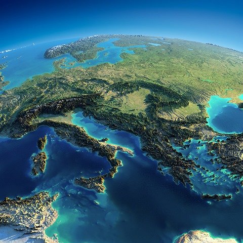
Central and Eastern Europe raise relief map by Anton Balazh. The author took real 3-D spatial data from a NASA survey and then re-scaled the z-axis to exaggerate the relief. And yes of course, the relief is highly exaggerated. To see how much height differences were blown up, consider that the Earth has a radius of ~6400km and the Alps have a maximum height of 4800m. That means that if you shrunk the Earth down to the size of a soccer ball (r=~11cm), then the bump created by the alps would only be about 0.08mm!
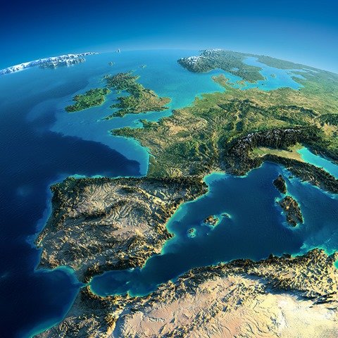
Here is a similar map of Western Europe.
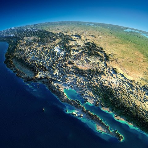
Western USA.
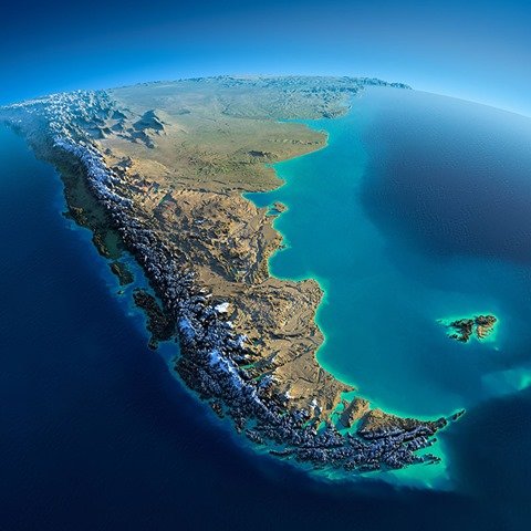
South America.
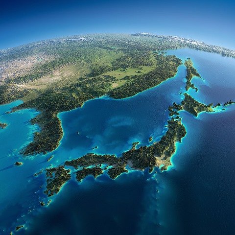
Japan and Korea.
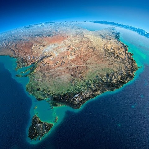
Australia.
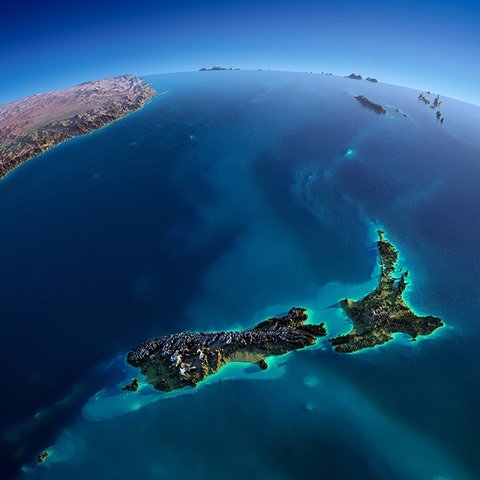
New Zealand.
Yeah great new section.
Interesting to see the; not-your-every-day maps.
Especially the maps which can change your perspective on a subject.
Please more in the future.
Good stuff, looking forward for this kind of content in the future. It’d be awesome if it’s possible to feature content like early human migration, effects of the 2004 tsunami have on islands, and so on.
Would enjoy more maps, e.g., geophysical, demographic and historical. Thanks.